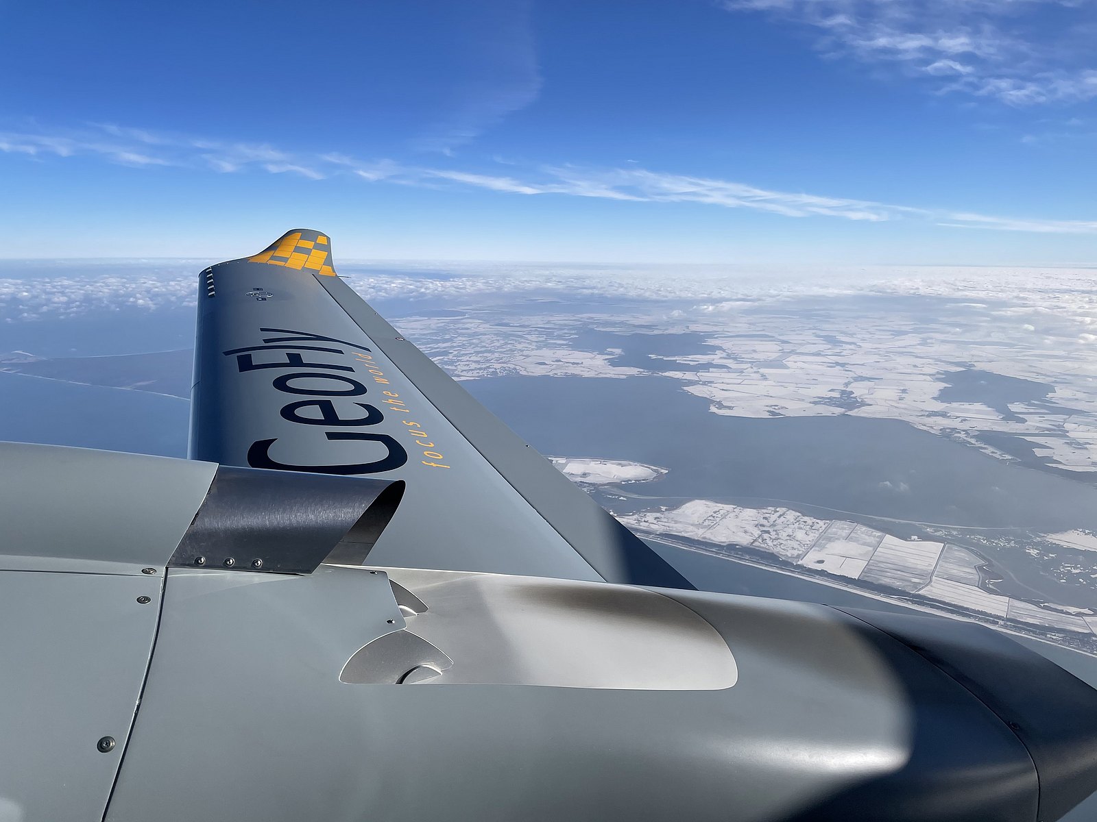
Meanwhile the first aircraft has accomplished well over 100 mission hours with GeoFly and has already proven its efficiency and versatility. In fact, the aircraft is outperforming all expectations and has marked a couple of cornerstones worth to highlight:
- Endurance: Equipped in the multi-sensor setup including the Riegl VQ-780i and the Vexcel Ultracam Eagle M3, an endurance of 7:17 hours was achieved with fuel remaining for almost two more hours, resulting in a max total endurance of 8:20 hours + 0:45 hours of reserve.
- Autonomy: With the help of the three-axis digital autopilot and a special procedure (see below) the aircraft is able to fly survey missions almost fully autonomously; thus even ultra-long missions become less exhausting for the crew.
- Efficiency: Due to the extremely low fuel burn of the jet-fuel engines, efficiency is that good, that the aircraft can even compete with turbine powered aircraft in high and fast missions, assuming your acquisition window (weather/atc, ec.) big enough. However, the flight takes longer due to lower speeds, the cost below the line are way cheaper when compared with classical turbo-prop aircraft.
- Versatility: In light of the above, GeoFly already ordered the integration of its Vexcel Ultracam Osprey series, including the new 4.1 on the DA62 SurveyStar, which is usually used on turbo-prop aircraft.
Bottom line, the investment made and the trust that GeoFly had in this new aircraft, already turned out to be a profitable decision, that sets them apart from their competitors.
Mission specific details provided by GeoFly Pilot Thor Håkon Sjursen:
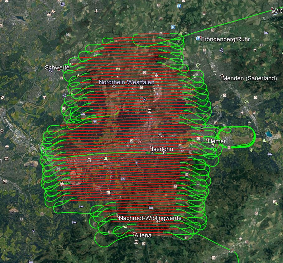
- Mission: Photo-flight
- Total time airborne: 7:17 hours
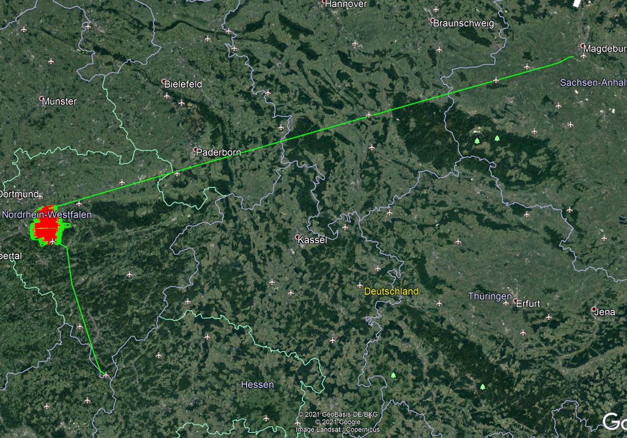
- Total survey time: 6 hours (+1:17 hour ferry at 75% Power)
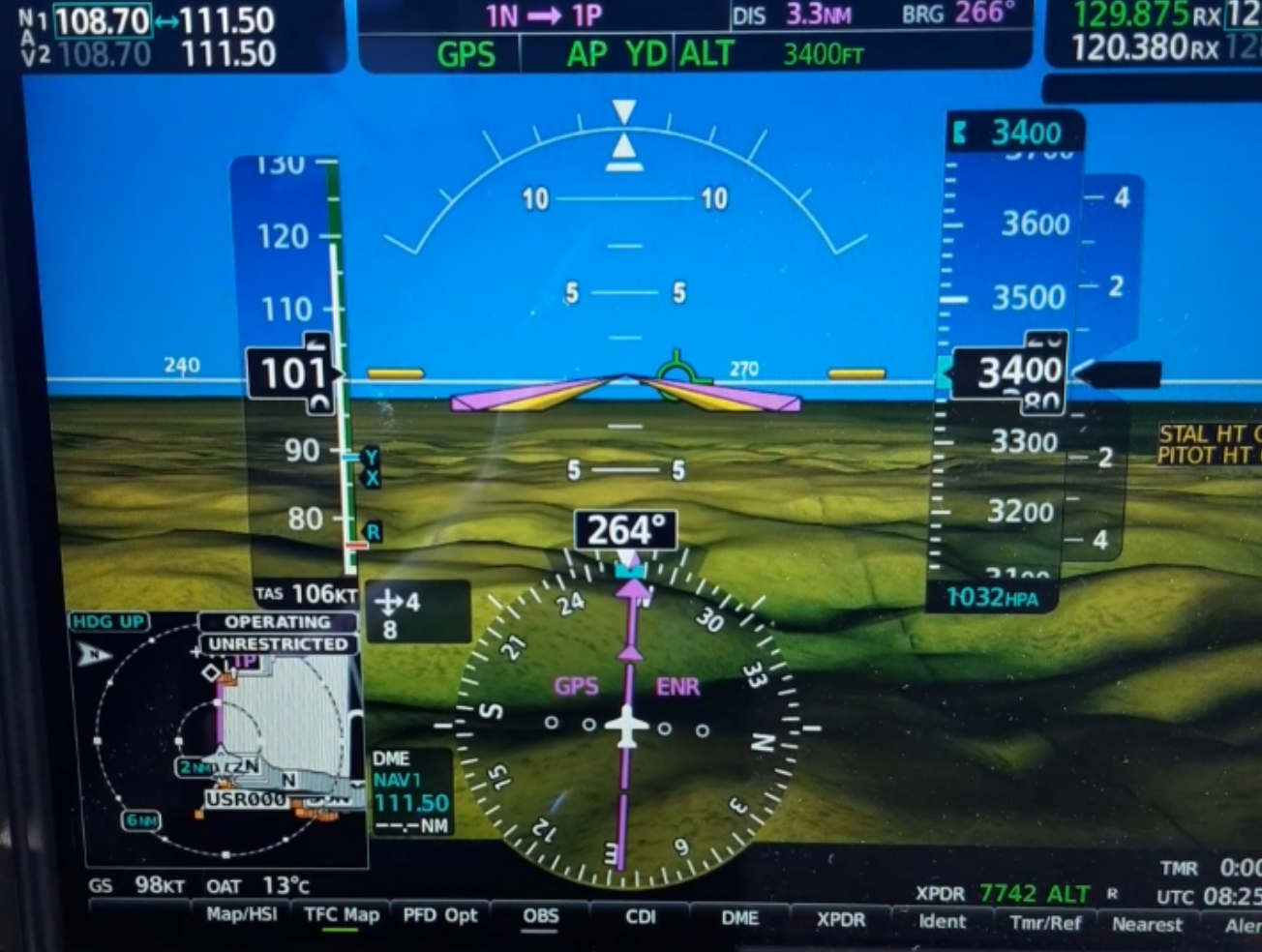
- Mission speed: 95 -100 kt GS (82-103 KIAS)
- Altitude: 2,820 – 3,830 ft
- Power Setting: 38-51%
- Avg. fuel-flow: 8.4-10.2 USgal/h (total)
- Fuel consumption: 70.5 USgal
- Endurance remaining after landing: 1:45 hours
The figures depict a typical slow and low mission. Fast and high missions are scheduled next and a comparison with turbo-prop aircraft can be expected thereafter.
Thor Håkon Sjursen, GeoFly pilot says: “The precise performance of the autopilot allows the aircraft to fly the lines itself, reducing the pilot's workload and allowed us to spot an unknown glider flying close to our area inside class D controlled airspace (ATC did not recognize the traffic) at the same altitude.”
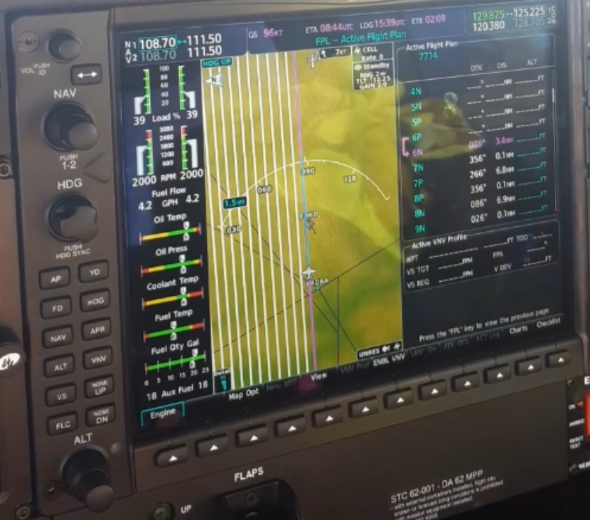
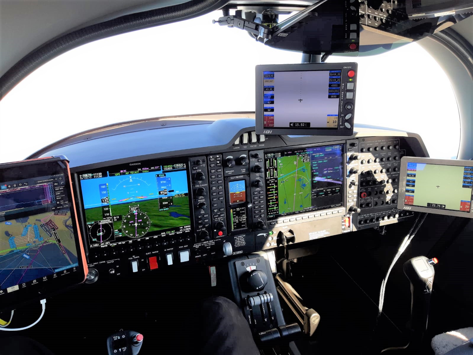
Garmin G1000 flight line loading:
Loading the photo-mission flight lines into the Garmin G1000 is done by converting latitude and longitude points of project-specific files and constructed into a Garmin ".fpl" file. The information is gathered from the Aerial Flight Management software used by GeoFly, and thereafter converted to a ".fpl" file after setting the parameters required by the equipment or higher (e.g., such as starting line number, turn bearing offset, and offset distance). The ".fpl" file is thereafter loaded into the MFD via Bluetooth using Garmin Flight Stream, or through an SD card and loaded in as any other flight-plan.
The IGI CCNS5 used on this particular flight uses a 1 nautical mile extension of the line for establishment and to enable recording and mount movement prior to line start. Therefore, in this particular project, the waypoints "A" (Start of the line) to point "B" (End of the line) were calculated with 1 additional nautical mile. For turns, the same principle is used with an estimated spacing distance and bearing offset to allow the aircraft to make the turn on its own. Due to unknown actual head-, tail- or crosswind, some manual overrides were required in the turns.